Rain returns tonight & Thursday
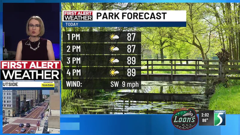
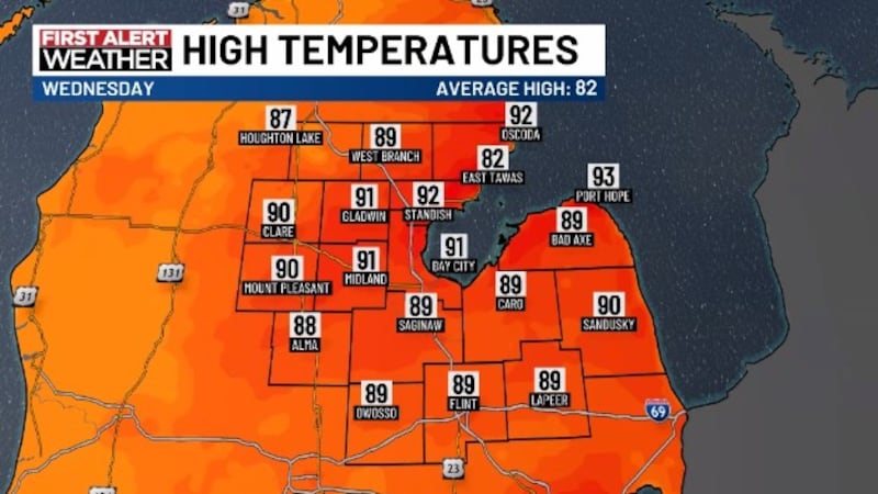
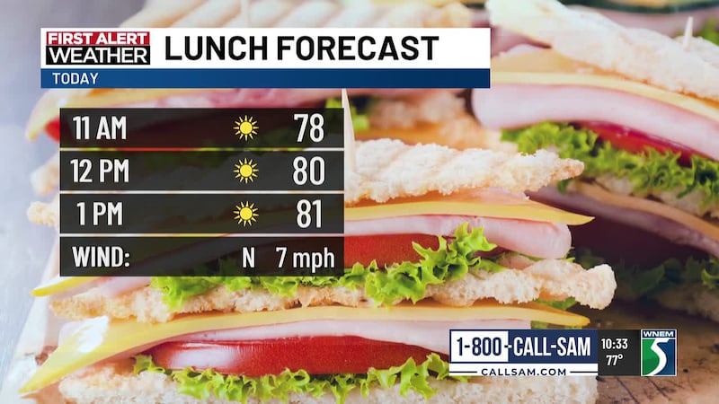
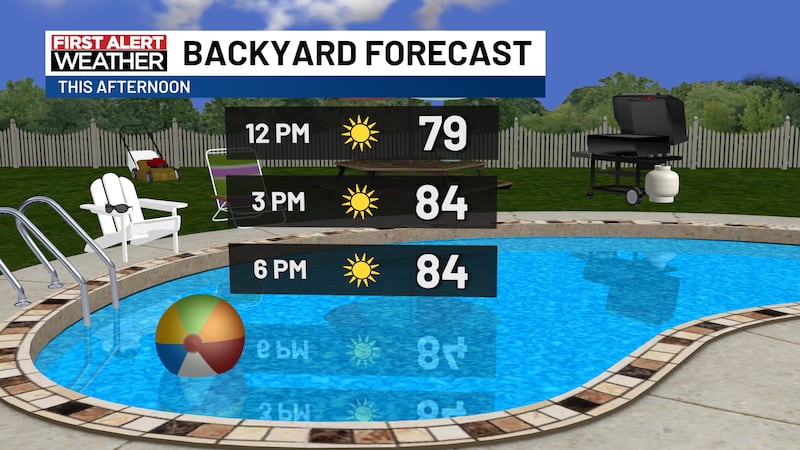
SAGINAW, Mich. (WNEM) - It’s been a hot, but sunny Wednesday around Mid-Michigan, but our next chance of rain arrives soon.
We should stay dry most of the evening ahead of midnight, but a cold front moving into the region will bring chances for showers and storms through tonight and Thursday. While our severe chance is low, some areas may pick up some locally heavy rainfall.
For a complete look at your forecast, be sure to check out your TV5 First Alert 7-Day Forecast!
This Evening & Overnight
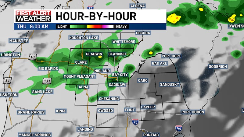
Our northern counties, north of US-10, will have the best chance to see any rain prior to midnight. Some showers close to sunset (9:18 PM) are possible, but should be much more scattered if they develop.
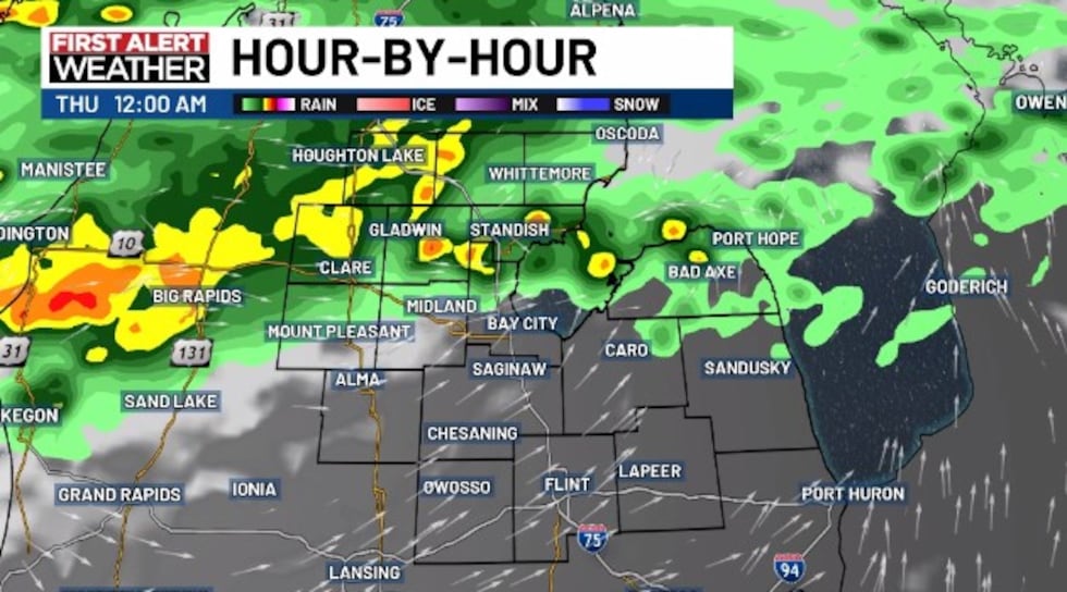
Rain chances will increase near and after midnight as the front gets closer, with areas north of US-10 having the highest chance of rain most of the night before drifting south more into Thursday.
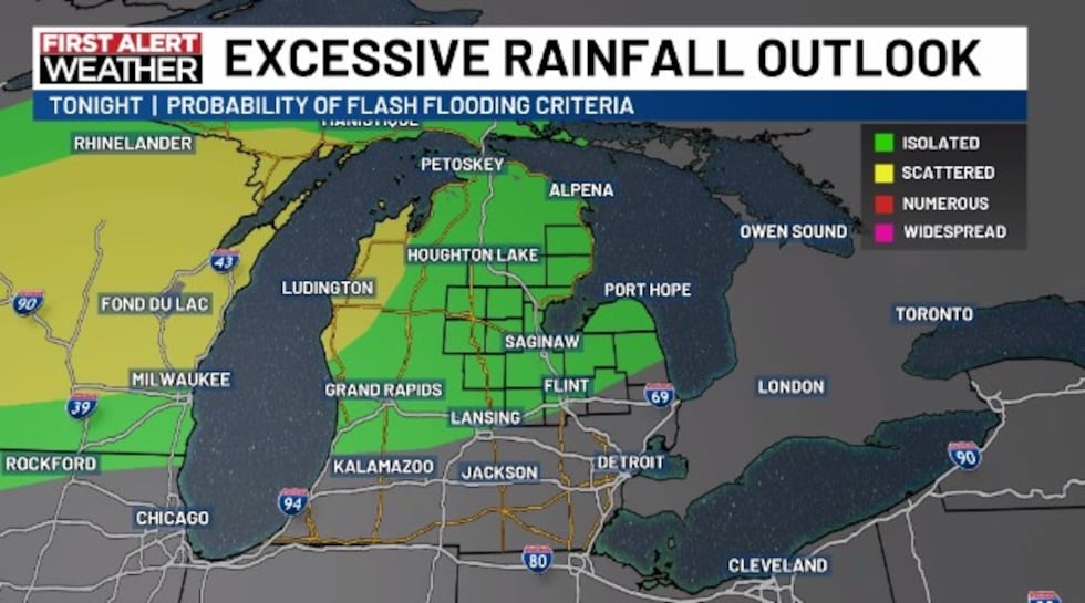
Severe weather chances are low, though there is a small threat for strong wind gusts, but the main issue is the possibility of locally heavy rainfall. With the slow-moving nature of the front, some areas may get hit repeatedly with rain, which is why that threat exists.
We are under the Excessive Rainfall Outlook tonight, with an isolated risk of flash-flooding.
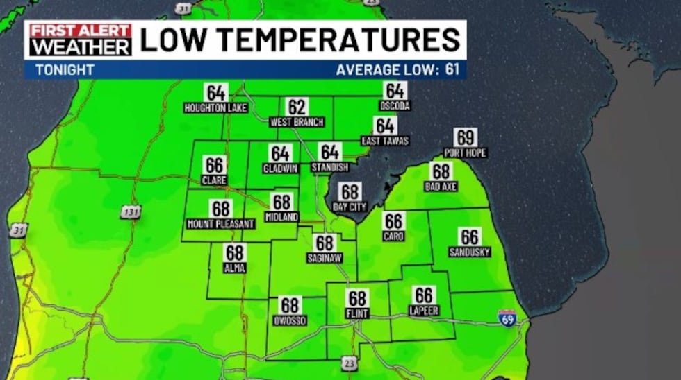
Overnight lows are expected to be in the lower to upper 60s, with light westerly winds.
Thursday
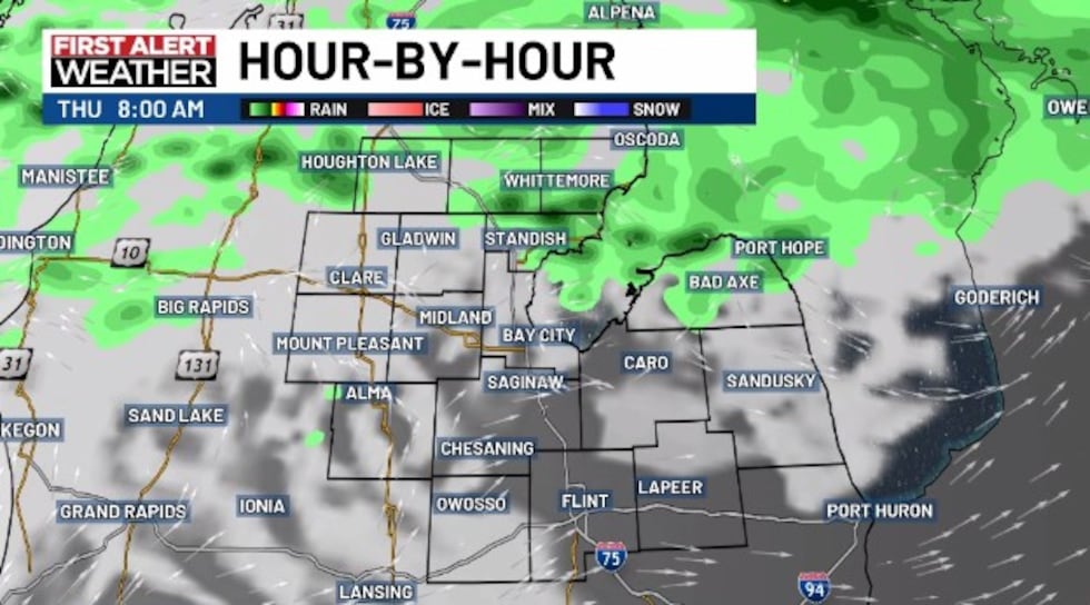
Rain chances will continue through the day Thursday, but there will likely be some breaks along the way. But if you have outdoor plans, work, or activities, know that you may have to look over your shoulder and check in with the radar from time to time.
You can do that with the TV5 First Alert Weather App or our Interactive Radar on the website.
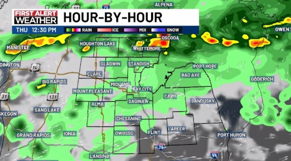
Our severe weather threat on Thursday remains low as well, but the same isolated strong wind gust threat exists in the strongest cells. Heavy rain also is a concern on a localized basis on Thursday too.
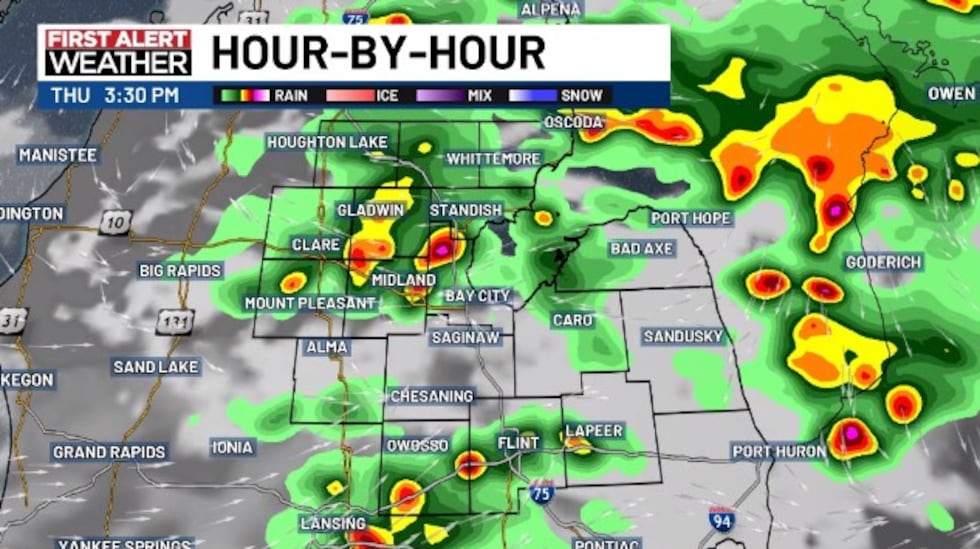
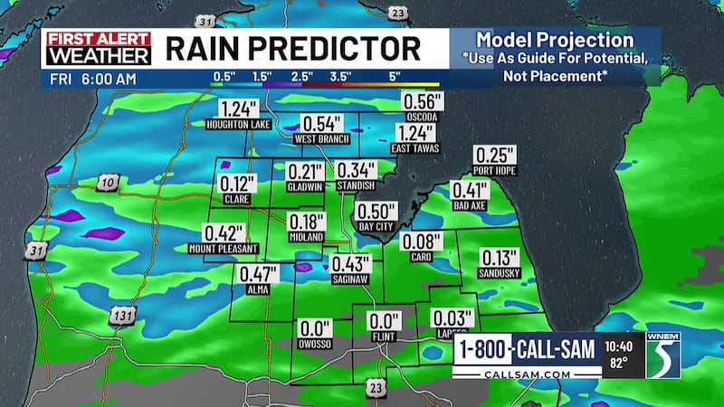
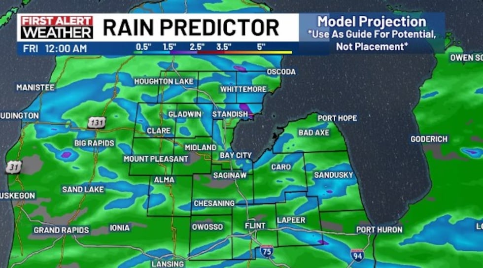
It’s tough to say what rainfall totals will be for specific locations, as it typically is in summertime rains, but the map below shows what the totals could look like. We turned off the specific amounts so you could see the randomness of where some of those heavier pockets could end up. Many will get less than 0.50″, others could get a few inches of rain.
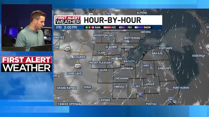
Rain should gradually end into the later evening and we should be on the quieter side overnight into Friday.
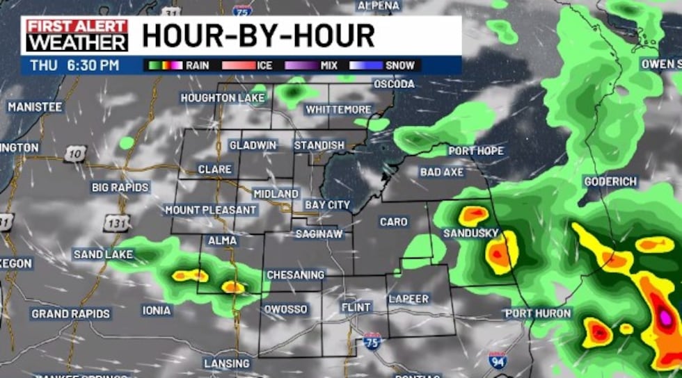
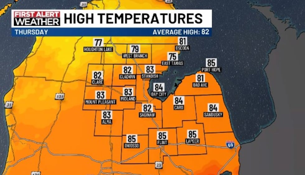
Highs will be in the lower to middle 80s because of the additional clouds and showers through the day. Winds will start southwesterly and turn northwesterly, and blow around 5 to 15 miles per hour.
Overnight lows heading into the final morning of the traditional workweek are expected to land in the upper 50s to middle 60s.
Copyright 2026 WNEM. All rights reserved.